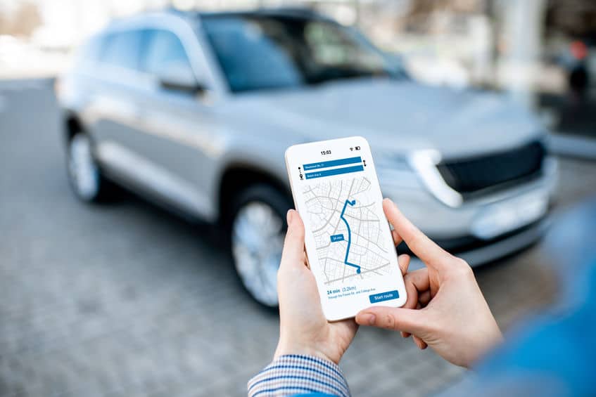
Street address geocoding (or postal address geocoding) is a functionality that allows you to obtain geographic coordinates from a postal address (whether complete or partial is unimportant as long as you use the professional instruments you will read about in this article). Geocoding an address means objectively deducing two fundamental data for several operations relevant to marketing, shipping and searching activities and not only. Thanks to precise geographic coordinates, you can place the position of the companies you collaborate with on your virtual map and consequently you will get the optimal route to deliver your goods. As a result, you will save time and fuel and, in few years, this will repay the company for the efforts and resources that have been invested for buying an evolved geocoding system.
It is essential though to find a system that can meet the needs of anybody who has to geocode one or more addresses in a short time and without any mistakes. This is the point: if we are doing this for fun or as a hobby, we can be happy with a standard application for a smartphone that was designed for other purposes (such as a simple satnav, for example); but when we have to deal with strategic targets or large data volumes, we have to look for more reliable resources that are able to geocode hundreds of thousands of addresses from all over the world. Moreover, this solution will guarantee that the entered data are correct and updated. And that’s a lot.
But, what are the most popular systems? How do they compare? Let’s try to understand it by reading the following short list.
- Free address geocoding → it is the group of free instruments that are available for those who need to geocode the addresses but don’t have special needs relevant to precision, accuracy and speed. This inconsistent group also includes systems that were not designed for this purpose but can be used for geocoding as well.
- Street Address geocoding with general solutions → these are third parties’ systems (i.e. browsers and other) that perform limited geolocation functions. In the appropriate paragraph, we will see that these solutions are quite limited.
- Street Address geocoding with dedicated instruments → this last option includes geocoding made with the proper geocoding software developed by companies such as ours. The advantages are important and they deserve further analysis.
FREE ADDRESS GEOCODING

We have described this system in the introduction and we repeat once again that geocoding is a function included in several types of software and smartphone applications that were designed to performed precise tasks. If we download a GPS for a smartphone, we could probably easily trace the latitude and longitude of addresses without spending one cent. But are we sure the address is updated? And can we hope that we will be able to geocode more than one address simultaneously? It is better to try the free version of specific software. Thanks to online demos offered by a few companies such as Address4, you will be able to activate a free plan and test the potential of geocoding with zero costs and without obligation. In our case, when the users log in, they will receive the following:
- 100 free test credits
- Access to advanced functions
- Ebook relevant to Data Quality
- Online database validation
- Automatic address database update without any installation
- Complete API library to integrate the software functions directly in the website or software
- Interactive automatic suggestions while entering words; this function is ideal for avoiding mistakes and receiving support while you are entering an address.
Compared to GPS applications and other similar systems, the free demo of our geocoding software allows you to validate the postal addresses BEFORE calculating their geographic coordinates. This is quite important if you want that the result meets your expectations.
Try FREE the Address4 demo for geocoding!
POSTAL ADDRESS GEOCODING: GENERIC SOLUTIONS
There are several online businesses that have developed generic products and services that are not specifically dedicated to address geocoding. These are browsers and marketing instruments, for example, that often work on a limited area (usually the USA). These types of software allow you to carry out several functions, but direct or reverse geocoding is never their main service; it is sometimes a secondary option to be used in special cases. If we consider Google, for example, we will see that the geocoding function is available by API and can be used only if the following requirements are met (see the article Google’s Geocoding API: Is There Any Good Alternative?):
- They require that the data are used only with specific software
- They require that free geocoding services are used by non-profit organizations
- They require the users to clear the cache after some time to avoid filing data
- They require the users to refer or mention the origin of data (for example, the provider)
- The limit is 100,000 queries a day and/or 50 queries a second.
And then another essential point: Google does not provide the address normalization service, but this service is often essential when you are not sure that the data you own are updated, correct and complete. Therefore the question you should ask yourself is always the same and it is valid either for Google or other instruments that are not designed for data decoding: it is sufficient to rely on generic solutions for such complex operations?
POSTAL ADDRESS GEOCODING: DEDICATED SOFTWARE

What if it were possible not to have limits on the number of queries? What if there were no obligation to give the terms of use or the provider’s logo? What if geocoding were accessible from any language including JavaScript and PHP? Yes, all that is feasible when you adopt professional geocoding software meant to meet the needs of a company or a multinational corporation. Whether it is CRM software, a web portal or ecommerce business, our geocoding suite is the best solution to all these requirements. Depending on your preferences, you will select one of the following four geocoding modes as follows:
- Online geocoding → the classic online version available 24/24 from any devices provided that the internet connection is available. Just one click of your mouse and the address will be validated and geolocated in real time.
- Autocomplete geocoding → if you don’t know exactly the address you have or you don’t want to risk making a mistake when you enter the data, just select the autocomplete function.
- Batch geocoding → the batch address geocoding involves hundreds or even thousands of addresses simultaneously and creates a file that includes the list of coordinates and it also signals possible mistakes, inconsistencies, etc.
- Reverse geocoding → thanks to reverse geocoding you can have a correct address that correspond to the longitude/latitude and you will be sure that information is updated and correct.
Do you want to start now? Try the Address4 online demo!


